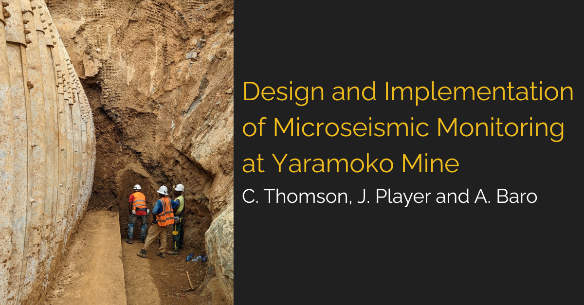
Slope Design Risk Assessments and Costs: Can they be Justified? [Whitepaper]

2024-03-13T13:13:27+08:00By |Case Study Report|

The MineGeoTech team have shown that early geotechnical involvement can provide confidence in subsequent stages of a mining project. Especially where an initial analysis has indicated difficult geotechnical conditions. This includes conducting slope design risk assessments. And the benefits of early intervention don’t just stop there. MineGeoTech Director and Principal Engineer Dr John Player

LiDAR Survey for Raisebore Assessment and Analysis: A Case Study

2024-03-13T13:17:12+08:00By |Case Study Report|

Light detection and ranging (LiDAR) survey technology presents high-resolution mapping capabilities, and when used in a geotechnical insight capacity, can provide engineers with valuable rock mass response awareness for mine infrastructures such as weak-structure mapping, and the locations of any water ingress points, and potential stress-induced damage. In 2019, MineGeoTech Senior GeotechnicalEngineer Richard Varden

See More Underground: LiDAR Survey for Raisebore Assessment and Analysis

2024-03-13T13:18:42+08:00By |Case Study Report|

LiDAR survey technology presents high-resolution mapping capabilities, and when used in a geotechnical insight capacity, can provide engineers with valuable rock mass response awareness for mine infrastructures such as weak-structure mapping, the locations of any water ingress points, and potential stress-induced damage. In 2019, MineGeoTech Senior Geotechnical Engineer Richard Varden and sister company MineLiDAR

Go to Top