May 4, 2022
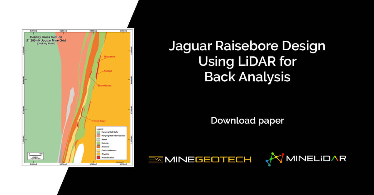
Light detection and ranging (LiDAR) survey technology presents high-resolution mapping capabilities, and when used in a geotechnical insight capacity, can provide engineers with valuable rock mass response awareness for mine infrastructures such as weak-structure mapping, and the locations of any water ingress points, and potential stress-induced damage.
In 2019, MineGeoTech Senior GeotechnicalEngineer Richard Varden and sister company MineLiDAR deployed LiDARscanning technology, called Hovermap, at the Jaguar Raisebore, located within the Bentley deposit, in the Eastern Goldfields region of Western Australia.
Read on by downloading the LiDAR Survey for Raisebore Assessment and Analysis case study:
The MGT Way is engineering advice
grounded in rigorous data analysis, enabling robust design.
Contact Us >
Our Services >
Meet the Team >
Explore Our Projects >