How can we help bring value to your project?
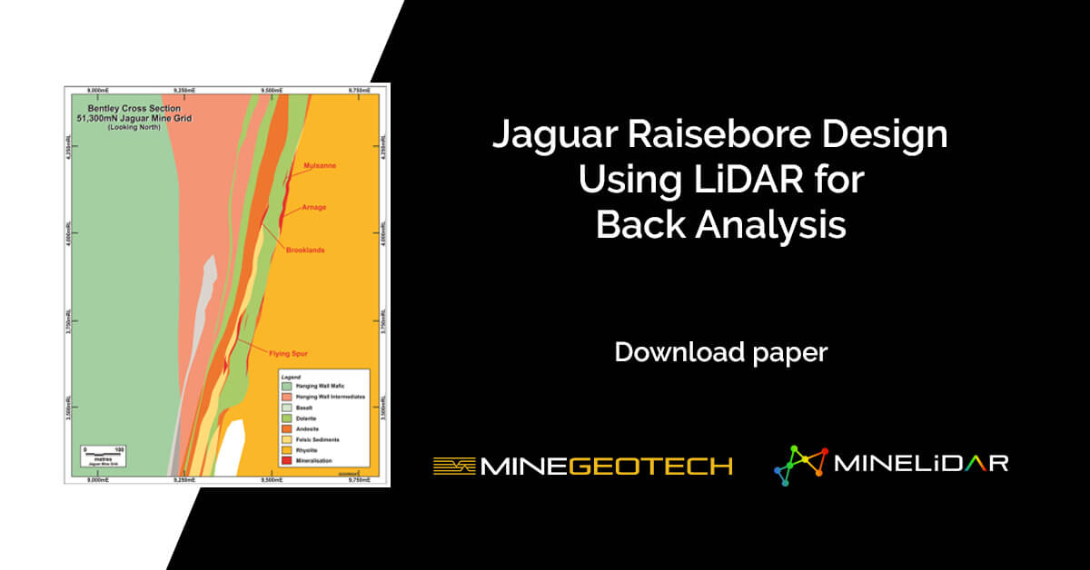
LiDAR survey technology presents high-resolution mapping capabilities, and when used in a geotechnical insight capacity, can provide engineers with valuable rock mass response awareness for mine infrastructures such as weak-structure mapping, the locations of any water ingress points, and
The UQ Young Achievers Program was launched in 2009 to assist students from low-income backgrounds to access tertiary education. The students are from state schools, and often rural Queensland, where they will be the first in their family to attend
Chamila Nishshanka Core Logging Supervisor | Geotechnical Data Collection and Analysis What is your role, and how long have you been at MGT? I’ve been with MGT since November 2015, so 5 years and 10 months. I
The UQ Young Achievers Program was launched in 2009 to assist students from low-income backgrounds to access tertiary education. The students are from state schools, and often rural Queensland, where they will be the first in their family to attend
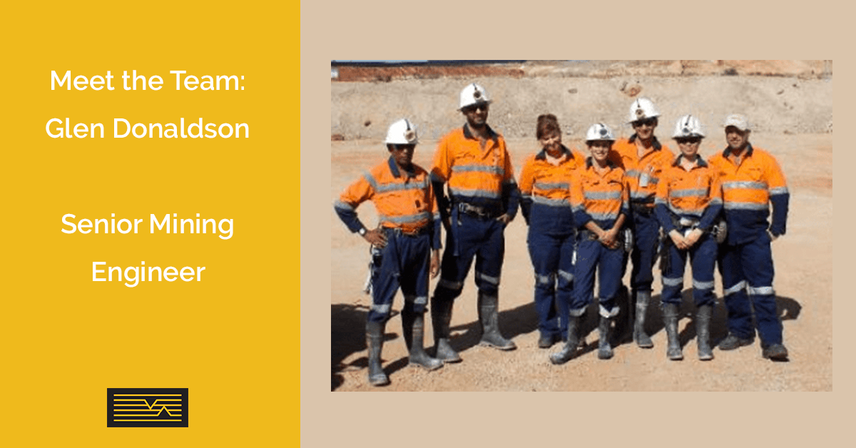
Glen Donaldson Senior Mining Engineer Glen obtained a Diploma of Mine and Engineering Surveying in 1996. He then worked as a surveyor for the next 11 years focusing on Mine Surveying roles and obtained WA Grade 1 Authorisation
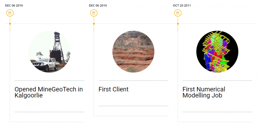
Check out our MineGeoTech milestone timeline: Follow MineGeoTech on LinkedIn >