How can we help bring value to your project?
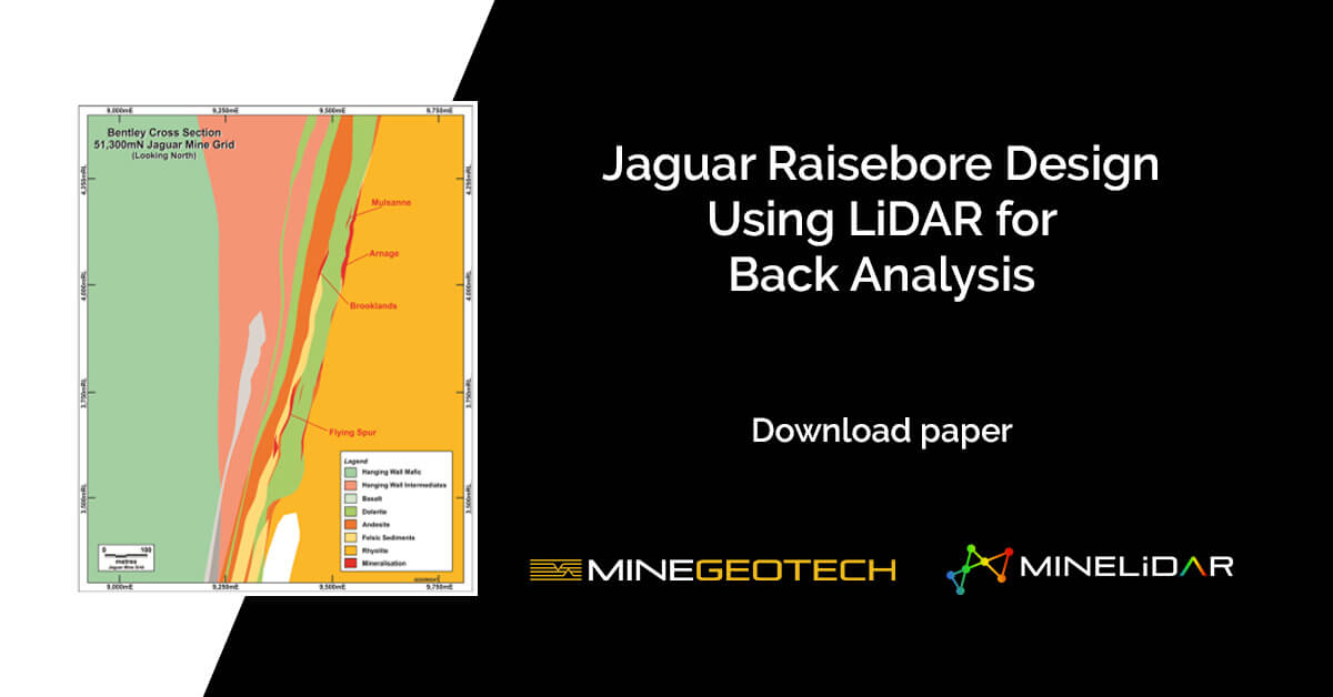
LiDAR survey technology presents high-resolution mapping capabilities, and when used in a geotechnical insight capacity, can provide engineers with valuable rock mass response awareness for mine infrastructures such as weak-structure mapping, the locations of
The UQ Young Achievers Program was launched in 2009 to assist students from low-income backgrounds to access tertiary education. The students are from state schools, and often rural Queensland, where they will be the first
Chamila Nishshanka Core Logging Supervisor | Geotechnical Data Collection and Analysis What is your role, and how long have you been at MGT? I’ve been with MGT since November 2015, so 5
The UQ Young Achievers Program was launched in 2009 to assist students from low-income backgrounds to access tertiary education. The students are from state schools, and often rural Queensland, where they will be the first
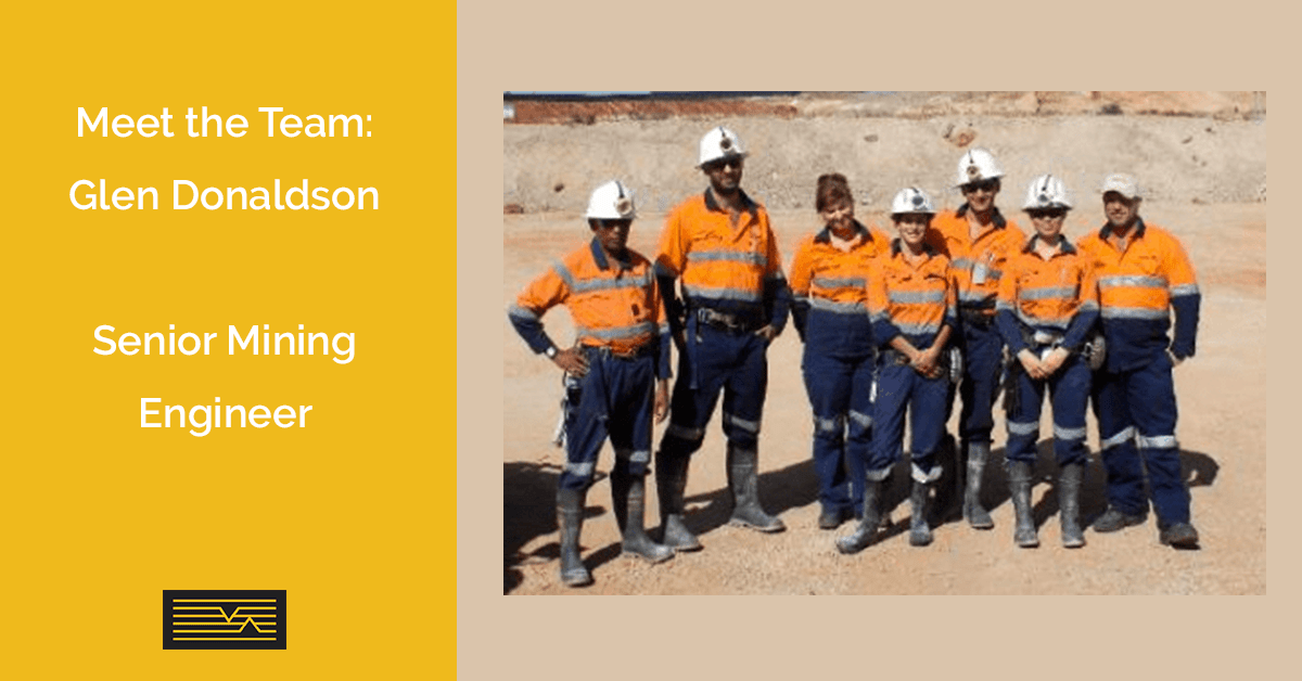
Glen Donaldson Senior Mining Engineer Glen obtained a Diploma of Mine and Engineering Surveying in 1996. He then worked as a surveyor for the next 11 years focusing on Mine Surveying roles and
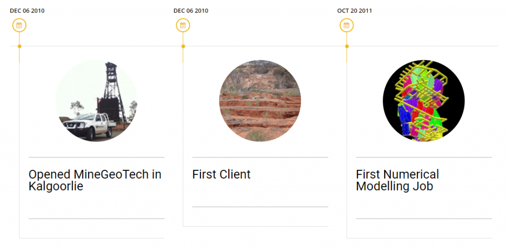
Check out our MineGeoTech milestone timeline: Follow MineGeoTech on LinkedIn >